The pan-European traffic corridors are social backstage zones of the wealthy in Europe. When increasing numbers of people are obliged to spend increasing amounts of time in transit, then these routes, corridors, vehicles and stopping points become important public places for dwelling-in-transit where trade might happen, rituals and routines be developed, contacts initiated with regions of origin or target. It is also where those who were mobile before engage in cultivating and maintaining the on-the-spot, fragmented communities. Here we can observe a “vernacular cosmopolitanism” and “doing with space” becomes a kind of “knotting”: a multi and trans-local mobile culture of integration specific alongside these corridors.
The alternative models of urbanism that ensue from the paradigmatic shift at these spaces, are shaped by polyrhythmic densifications and the continual performance of difference such as also increasingly inform our everyday lives. These nodes and knots are perfect places to investigate both the strategies of (supra-)national institutions to control mobilities but also how this “knotting” is practiced on site in a widely mobile/mobilized life and how publics are un-done and remade.
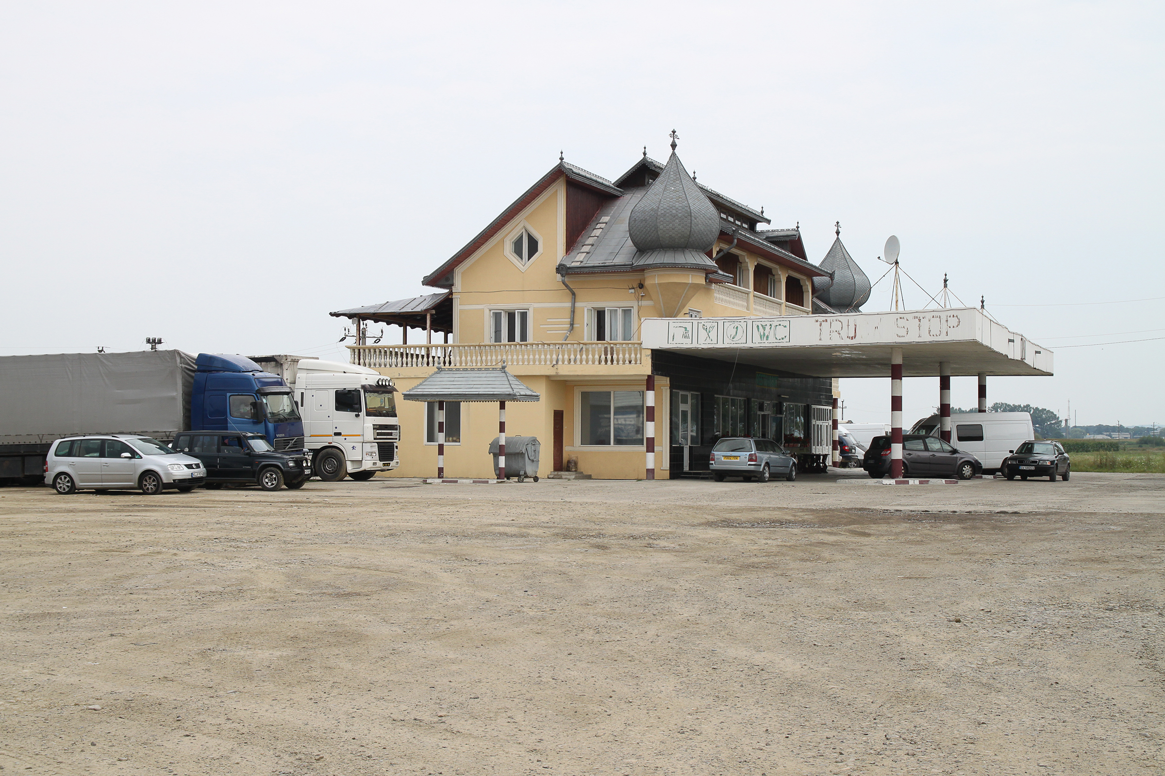
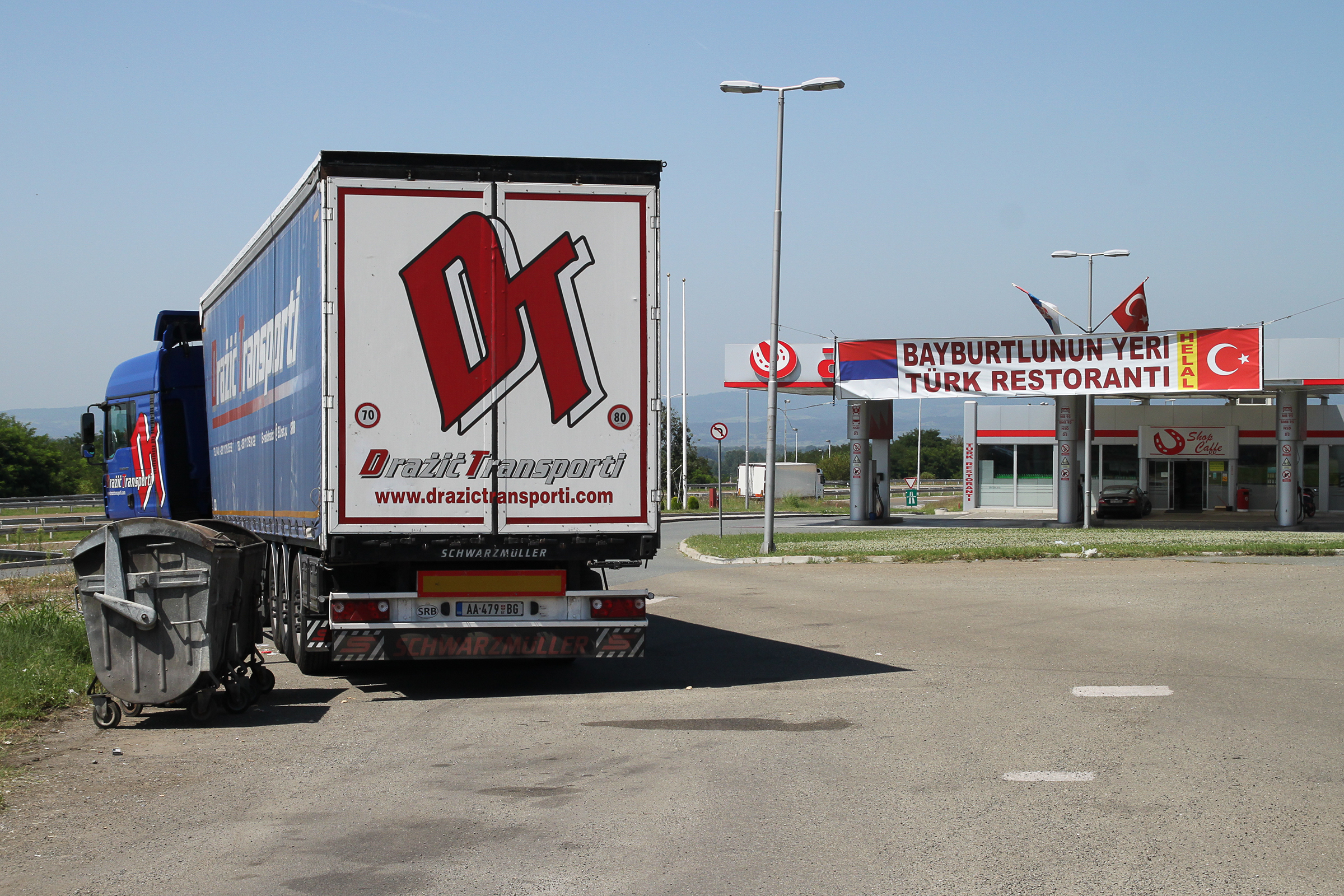
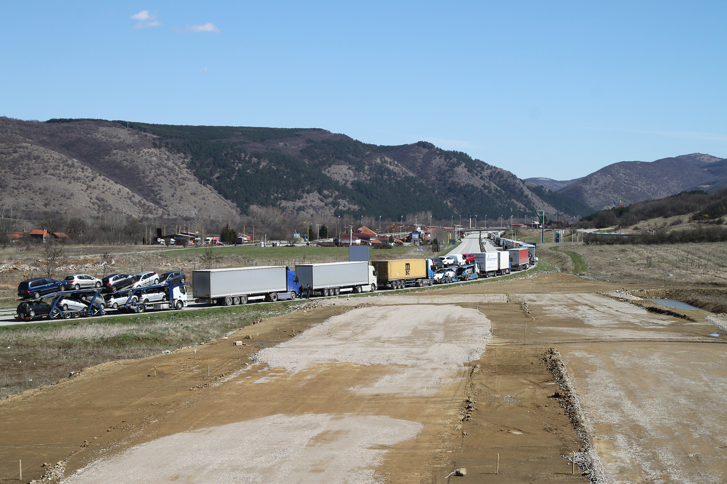
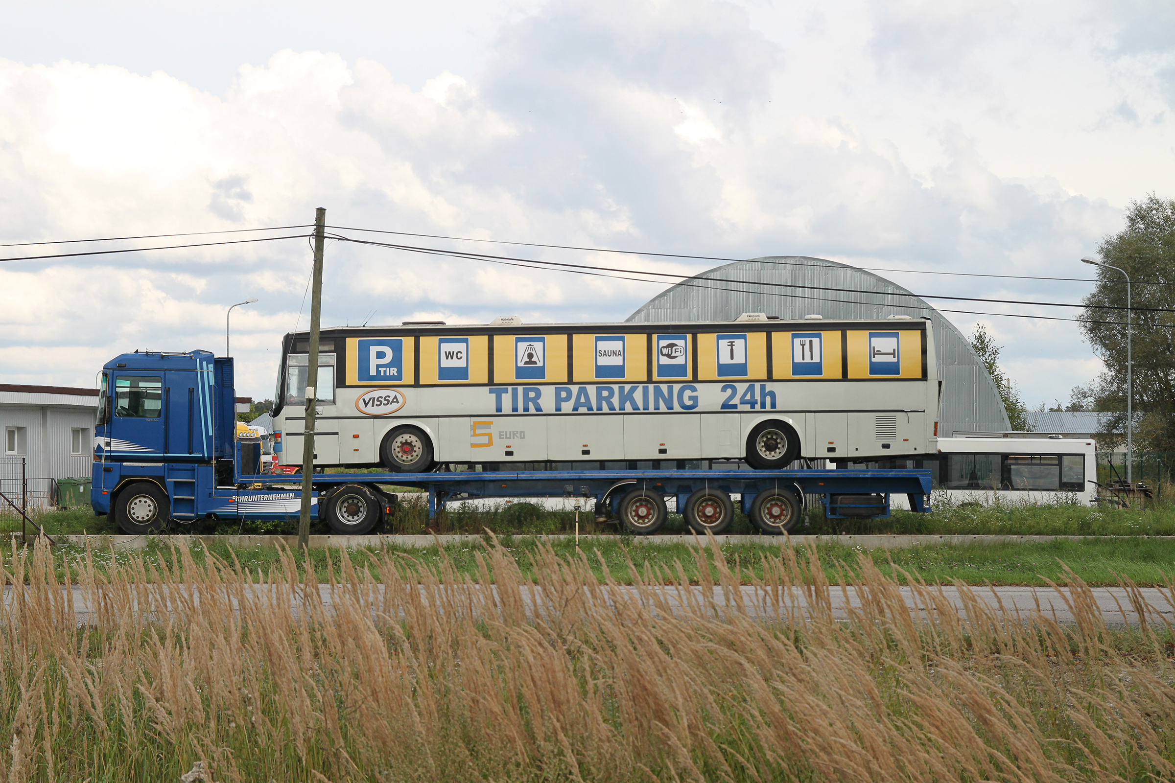
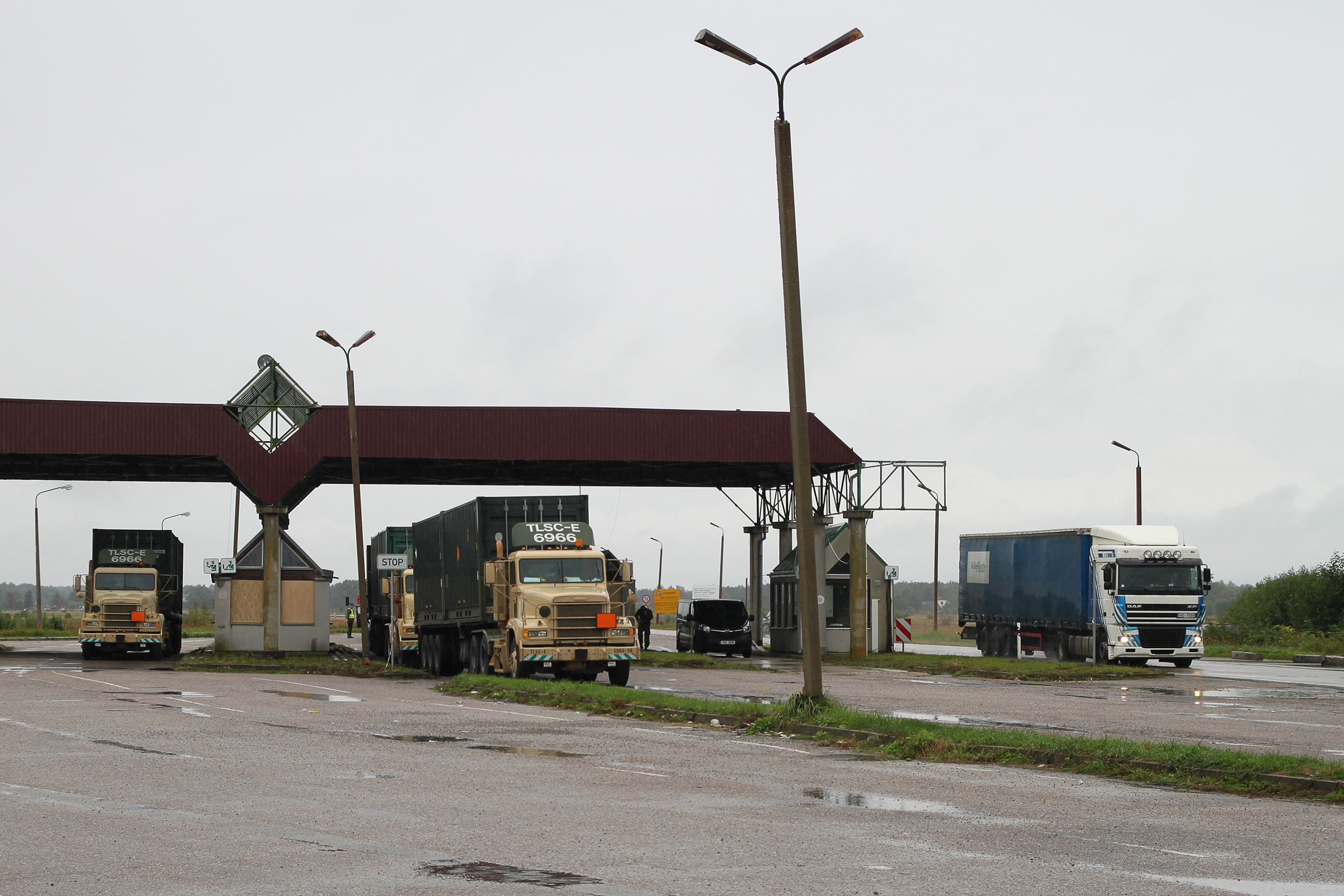
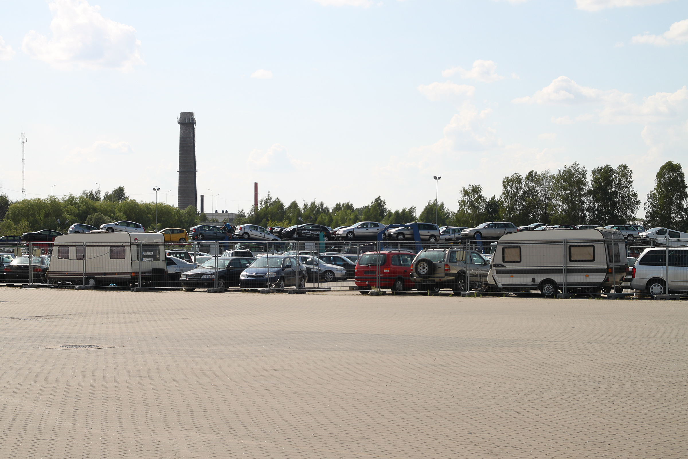
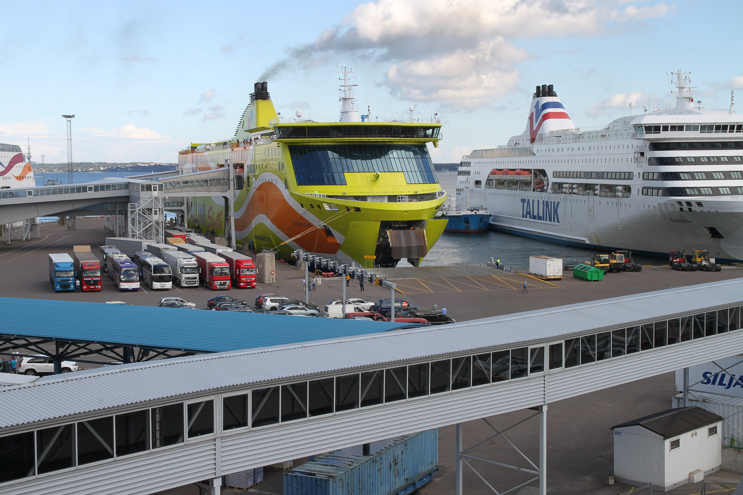
The selected illustrations show a wide variety of nodes of mobilities along the pan-European road corridors in a triangle between Vienna, Tallinn and the Bulgarian-Turkish border: The photographs, taken from a distanced angle, show specific infrastructures and architectures embedded in the mobility landscape, whereby the variety of uses and functions of these nodes can only be guessed at. In contrast, the drawings zoom into the (inter-)actions of social actors, also offering graphic views into the history of some of these places and thereby assigning anthropological significance to what otherwise might be considered as typical non-places.
